Mapping the Impact of Historical Disinvestment on Urban Tree Canopy
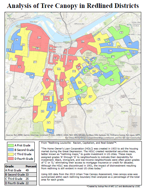
Redlining was the discriminatory practice of withholding home ownership loans from residents of “distressed” neighborhoods in the first few decades of the 20th century. This practice occurred in cities across the US, including in Louisville. “Quality grades” for these areas were determined by the Home Owners’ Loan Corporation (HOLC), a publicly funded corporation created by the New Deal in 1933. Areas found to be “undesirable” (most often home to black, immigrant or low-income communities) were given the lowest grades and, quite literally, outlined in red on the HOLC maps. These maps have since been used by researchers to analyze the long term effects of disinvestment on urban areas. This research most often focuses on housing outcomes, but this disinvestment had a clear impact on the natural environment in urban settings.
By analyzing GIS data from the 2015 Louisville Urban Tree Canopy Assessment, we found that the percentage of tree canopy cover within neighborhoods strongly correlates with the quality grade that those neighborhoods were assigned by the HOLC. Areas deemed “undesirable” have an average present day canopy of 22%, while areas deemed “desirable” have an average of 49%. It is clear that the repercussions of redlining and disinvestment in certain areas of Louisville is still strongly felt to this day.
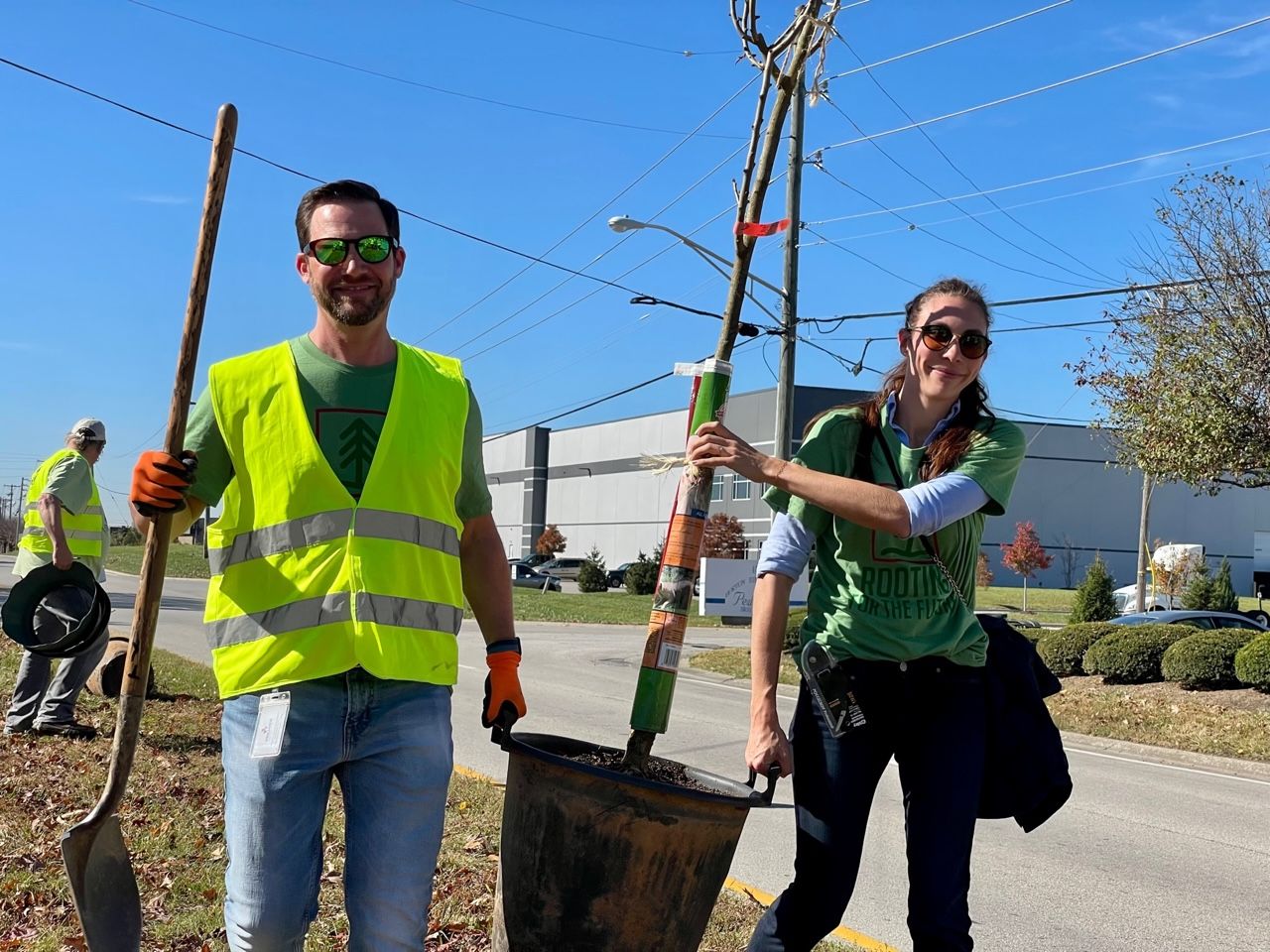
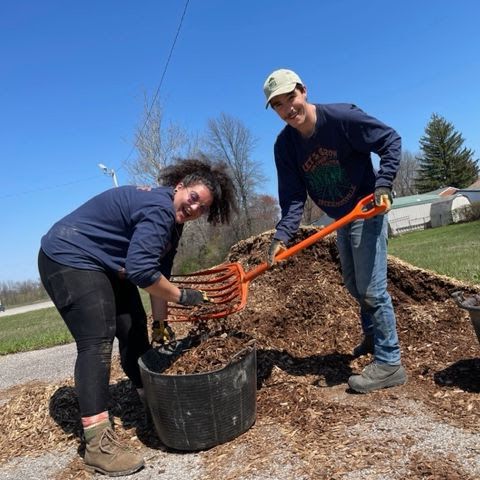
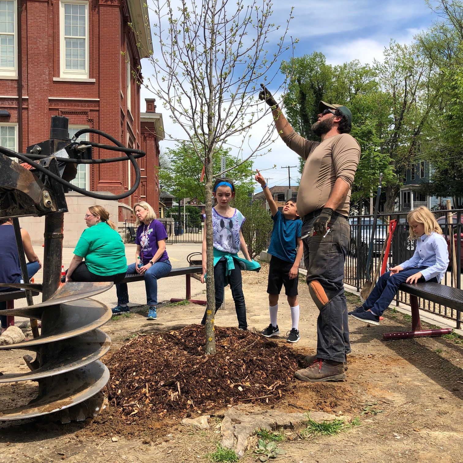
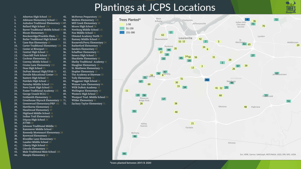
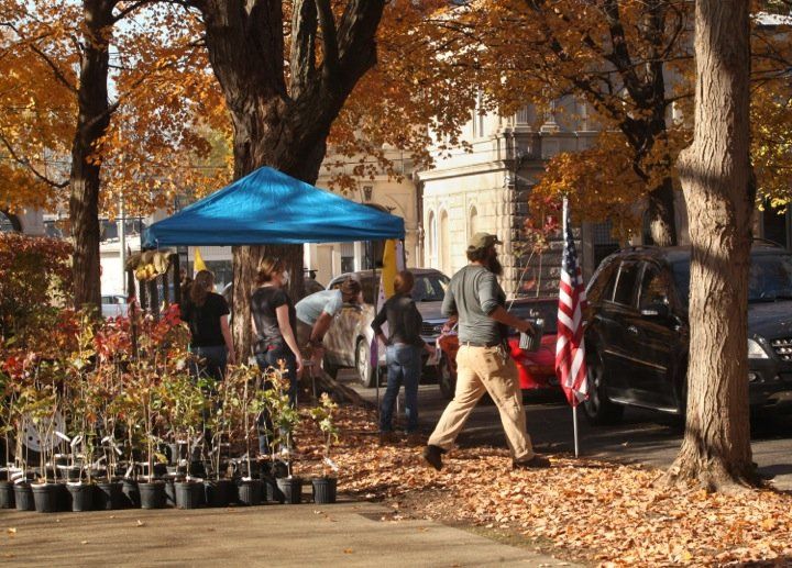
Addressing historical inequity is one of the main goals of our mission at TreesLouisville and helps determine the areas where we work. Nearly 70% of our planting projects occur in low canopy areas and we also reserve a higher percentage of our Community Canopy
trees for residents in these areas. Using research like Redlining Louisville: Racism, Capitalism, and Real Estate
we are able to find intersections between two seemingly unrelated topics and informs our efforts to work in a more equitable way.
The post Mapping the Impact of Historical Disinvestment on Urban Tree Canopy appeared first on TreesLouisville.


